
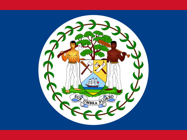
Chiffres clés
Dernière valeur publiée pour chaque indicateur, avec son année et sa source
- Population
- 423 k hab.2025Banque mondiale (WDI)
- Densité de population
- 18,3 hab./km²2024Banque mondiale (WDI)
- PIB par habitant (PPA)
- 12 789 $ int. 20212025Banque mondiale (WDI)
- PIB par habitant
- 7 865 $2025Banque mondiale (WDI)
- Espérance de vie
- 73,7 ans2024Banque mondiale (WDI)
- Population urbaine
- 41,6 %2025Banque mondiale (WDI)
- Fécondité
- 2,02 enfants/femme2024Banque mondiale (WDI)
- CO₂ par habitant
- 0,93 t/hab.2024Banque mondiale (WDI)
- Utilisateurs d'Internet
- 80,0 %2024Banque mondiale (WDI)
- Capitale
- Belmopan
- Superficie
- 22 705 km²
- Subdivisions de premier niveau
- 6
- Villes répertoriées
- 140
- Coordonnées (point d’étiquette)
- 17,20° N · 88,71° O
- Codes ISO 3166-1
- BZ · BLZ
- Wikidata
- Q242
Calculée par AETHRA sur l’ellipsoïde à partir des frontières Natural Earth (1:50 m).
Lieux peuplés retenus par Natural Earth, pas un recensement.
Évolution
Traits pleins : données publiées · gris : reconstructions historiques · tirets : projections
Population
423 k hab.2025
2,02 enfants/femme2024
41,6 %2025
18,3 hab./km²2024
Économie
12 789 $ int. 20212025
2,7 %2025
1,1 %2025
8,9 %2025
Société et santé
73,7 ans2024
12,7 ‰2024
87,9 %2022
Environnement
0,93 t/hab.2024
30,8 %2022
58,0 %2024
16,8 µg/m³2023
Équipements
99,6 %2024
80,0 %2024
67,2 pour 100 hab.2022
Histoire
Événements choisis par AETHRA, chacun avec sa référence ; frontières actuelles
Subdivisions
6 subdivisions de premier niveau (Natural Earth)
Villes
Estimations d’agglomération publiées par Natural Earth, sans année de référence
| Ville | Statut | Agglomération (estimation) |
|---|---|---|
| Belize City | Chef-lieu | ≈ 63 k |
| San Ignacio | ≈ 21,2 k | |
| Orange Walk Town | Chef-lieu | ≈ 20,8 k |
| San Pedro | ≈ 17,4 k | |
| El Cayo | Chef-lieu | ≈ 17 k |
| Belmopan | Capitale nationale | ≈ 15,2 k |
Autres villes
- Dangriga
- Bella Vista
- Benque Viejo el Carmen
- Corozal Town
- Ladyville
- Punta Gorda
- Santa Elena
- Trial Farm
- Armenia
- August Pine Ridge
- Billy White
- Bullet Tree Falls
- Burrell Boom
- Caledonia
- Camelote
- Carmelita
- Caye Caulker
- Chunox
- Cocoyol
- Concepcion
- Cotton Tree
- Cowpen
- Cristo Rey
- Esperanza
- Guinea Grass
- Hattieville
- Hope Creek
- Hopkins
- Independence and Mango Creek
- Indian Creek
- Libertad
- Little Belize
- Lord’s Bank
- Maskall
- Neuland
- Paraiso
- Patchchacan
- Placencia
- Pomona
- Progresso
- Ranchito
- Red Bank Village
- Roaring Creek
- San Andres
- San Antonio
- San Antonio
- San Estevan
- San Felipe
- San Joaquin
- San Jose
- San Jose Palmar
- San Jose Soccoths
- San Juan
- San Lazaro
- San Narciso
- San Pablo
- San Pedro
- San Roman Village
- San Victor
- Sand Hill
- Santa Cruz
- Santa Familia
- Santa Rosa Village
- Sarteneja
- Seine Bight Village
- Shipyard
- Silk Grass
- Spanish Lookout
- St. Margaret
- St. Matthew's
- Teakettle Village
- Trio Village
- Unitedville
- Valley of Peace
- Western Paradise
- Xaibe
- Yo Creek
- Big Fall
- Biscayne
- Blackman Eddy
- Bladen
- Blue Creek Village
- Buena Vista
- Buena Vista
- Calcutta
- Callac Creek
- Chan Chen
- Chan Pine Ridge
- Consejo
- Cristo Rey
- Crooked Tree
- Dolores
- Double Head Cabbage
- Douglas
- Duck Run 2
- Duck Run 3
- Duck Run
- Eldridgeville
- Forest Home
- Franks Eddy
- Gardenia
- Georgetown
- Georgeville
- Hicattee
- Indian Creek Village
- Jalacte
- Los Tambos
- Louisville
- Lower Barton Creek
- Mahogany Heights
- Maya Center
- Maya Mopan
- New Road Area
- Ontario Village
- Pueblo Viejo
- Ramonal
- San Antonio
- San Felipe
- San Fernando
- San Isidro
- San Jose
- San Margos
- San Miguel
- San Pablo
- San Pedro
- Santa Clara
- Santa Cruz
- Santa Martha
- Sarawina
- Seven Miles El Progresso
- Silver Creek
- Steadfast
- Trinidad
- Valley Community
Pays voisins
Frontière terrestre commune (géométrie Natural Earth)
 Guatemala
 Mexique
Sources et licences
Gapminder Foundation
Free data from Gapminder.org (CC BY 4.0)
Natural Earth (NACIS)
Made with Natural Earth. Free vector and raster map data @ naturalearthdata.com.
World Development IndicatorsCC-BY-4.0
World Bank
World Bank, World Development Indicators (CC BY 4.0)
Méthode, qualité des données et historique des imports : page des sources.