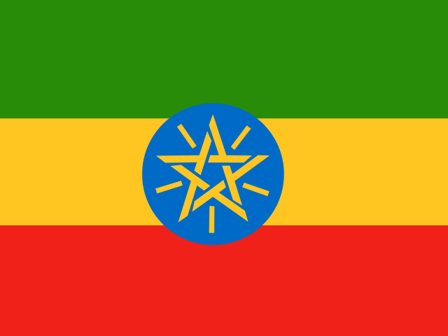
Chiffres clés
Dernière valeur publiée pour chaque indicateur, avec son année et sa source
- Population
- 135 M hab.2025Banque mondiale (WDI)
- Densité de population
- 117,7 hab./km²2024Banque mondiale (WDI)
- PIB par habitant (PPA)
- 3 095 $ int. 20212025Banque mondiale (WDI)
- PIB par habitant
- 933 $2025Banque mondiale (WDI)
- Espérance de vie
- 67,6 ans2024Banque mondiale (WDI)
- Population urbaine
- 24,1 %2025Banque mondiale (WDI)
- Fécondité
- 3,91 enfants/femme2024Banque mondiale (WDI)
- CO₂ par habitant
- 0,15 t/hab.2024Banque mondiale (WDI)
- Utilisateurs d'Internet
- 21,9 %2024Banque mondiale (WDI)
- Capitale
- Addis-Abeba
- Superficie
- 1 127 096 km²
- Subdivisions de premier niveau
- 11
- Villes répertoriées
- 256
- Coordonnées (point d’étiquette)
- 8,03° N · 39,09° E
- Codes ISO 3166-1
- ET · ETH
- Wikidata
- Q115
Calculée par ATLAS sur l’ellipsoïde à partir des frontières Natural Earth (1:50 m).
Lieux peuplés retenus par Natural Earth, pas un recensement.
Évolution
Traits pleins : données publiées · gris : reconstructions historiques · tirets : projections
Population
135 M hab.2025
3,91 enfants/femme2024
24,1 %2025
117,7 hab./km²2024
Économie
3 095 $ int. 20212025
9,8 %2025
13,2 %2025
3,3 %2025
Société et santé
67,6 ans2024
44,5 ‰2024
60,5 %2022
Environnement
0,15 t/hab.2024
90,6 %2021
23,8 %2024
23,8 µg/m³2023
Équipements
56,6 %2024
21,9 %2024
65,1 pour 100 hab.2024
Histoire
Événements choisis par ATLAS, chacun avec sa référence ; frontières actuelles
- 700 av. J.-C.Grand temple de YehaSociété
- 330Conversion du roi Ézana d'Aksoum au christianismeSociété
- 525Expédition de Kaleb d'Aksoum au HimyarConflit
- 1200Églises rupestres de LalibelaSociété
- 1270Avènement de la dynastie salomonidePolitique
- 1543Bataille de Wayna DagaConflit
- 1636Gondar devient la capitale de l'ÉthiopiePolitique
- 1855Couronnement de Téwodros IIPolitique
- 1868Bataille de MagdalaConflit
- 1886Fondation d'Addis-AbebaPolitique
- 1896Bataille d'AdouaConflit
- 1935 – 1936Invasion italienne de l'ÉthiopieConflit
- 1963Fondation de l'Organisation de l'unité africainePolitique
Subdivisions
11 subdivisions de premier niveau (Natural Earth)
Villes
Estimations d’agglomération publiées par Natural Earth, sans année de référence
| Ville | Statut | Agglomération (estimation) |
|---|---|---|
| Addis-Abeba | Capitale nationale | ≈ 3,1 M |
| Adama | ≈ 477 k | |
| Warder | ≈ 450 k | |
| Dire Dawa | ≈ 252 k | |
| Bishoftu | ≈ 207 k | |
| Baher Dar | ≈ 207 k |
Autres villes
- Sodo
- Ādīgrat
- Adigrat
- Ārabī
- Hawassa
- Burayu
- Debre Tabor
- Dessie
- Waliso
- Gondar
- Harar Jugol
- Inda Silasē
- Jimma
- Kombolcha
- Nek’emtē
- Sebeta
- Shashamané
- Weldiya
- Adwa
- Āgaro
- Alamata
- ‘Alemaya
- Arba Minch
- Āreka
- Arsi Negele
- Assella
- Bodītī
- Bonga
- Butajīra
- Chagni
- Ciro
- Dangila
- Debre Berhan
- Debre Marqos
- Duramē
- Felege Neway
- Fichē
- Finote Selam
- Gambēla
- Gode
- Gode
- Gununo
- Hagere Maryam
- Hosaena
- Djidjiga
- Jinka
- Kobo
- K’olīto
- Mekele
- Mek’ī
- Metu
- Mīzan Teferī
- Mojo
- Mot’a
- Negēlē
- Nekemte
- Samara
- Sek’ot’a
- Sodo
- Tēpī
- Welk’īt’ē
- Wendo
- Wik’ro
- Ziway
- Abala
- Ābderafī
- Ābīy Ādī
- Abomsa
- Adebaye
- Ādēt
- Ādīs ‘Alem
- Ādīs K’idamē
- Ādīs Zemen
- Aksoum
- ‘Alem Ketema
- ‘Alem T’ēna
- Amba Giorgis
- Ara Ali
- Arerti
- Asaita
- Āsasa
- Āsbe Teferī
- Asosa
- Āt’aye
- Āwash
- Āyana
- Āykel
- Babīlē
- Badessa
- Bako
- Bale Hawassa
- Bale Robe
- Bambesi
- Bedelē
- Bedēsa
- Bedēsa
- Bek’ojī
- Bichena
- Burē
- Chelenko
- Ch’ench’a
- Ch’iko
- Chinahsen
- Dabat
- Damboya
- Dayē
- Debark’
- Deder
- Degeh Bur
- Dembech’a
- Dembidolo
- Dēra
- Dibate
- Digih Habar Es
- Dilla
- Dimtu
- Dodola
- Dolo
- Dubti
- El Bahay
- Fadhigaradle
- Felana
- Filakit
- Funyan Bīra
- Gasuba
- Gebre Guracha
- Gedeb
- Gēdo
- Gelemso
- Genet
- Ghinnir
- Gīdolē
- Gimbi
- Gīmbīcho
- Gimja Bēt Maryam
- Gīnch’ī
- Ginja Bet
- Goba
- Gobēsa
- Golwayn
- Guder
- Gurbetē
- Gutin
- Hadero
- Ambo
- Harbu
- Hartīshēk
- Hāyk’
- Hīrna
- Huruta
- Ibnat
- Idaga Hamus
- Indabaguna
- Injibara
- Insēno
- Intich’o
- Īteya
- Kachīsī
- Kebri Dahar
- Kele
- Kemisē
- Kercha
- Kibre Mengist
- Kofelē
- K’ola Diba
- Komtikas
- Korem
- Kuyera
- Lalibela
- Lasoano
- Leku
- Logīya
- Lumamē
- Maksenyit
- Mambuk
- May Cadera
- Maych’ew
- Mehal Mēda
- Mehoni
- Mena
- Mendī
- Mer’āwī
- Mersa
- Mertule Maryam
- Metahāra
- Metemma
- Mī’ēso
- Mīlē
- Neefkuceliye
- Nefas Mewch’a
- Nejo
- Qorof
- Raqo
- Robīt
- Robit
- Sagurē
- Sendafa
- Shakiso
- Shambu
- Shendi
- Sheno
- Sheraro
- Shinshicho
- Shonē
- Sifra
- Sīrē
- Suntu
- Tarch’a Sodo
- Tikil Dingay
- Tīlīlī
- T’īs Isat
- Tulu Bolo
- Waal
- Wacha
- Waka
- Wegeda
- Welench’ītī
- Wenago
- Were Īlu
- Werota
- Wonji
- Worabe
- Yabēlo
- Yamarugley
- Yirgalem
- Yirga Ch’efē
- Bati
- Bombe
- Debre Werk’
- Dejen
- Dolo
- Duuban
- Gawanē
- Ījajī
- Kahandhale
- Kurmuk
- Negele Boran
- Shanto
- Tebela
- Wenjī
- Debre Sīna
- Dedebit
- Gore
- Hāgere Selam
- Kara K’orē
- Mēga
- Dewelē
- Konso
- Lobuni
- Turmi
Pays voisins
Frontière terrestre commune (géométrie Natural Earth)
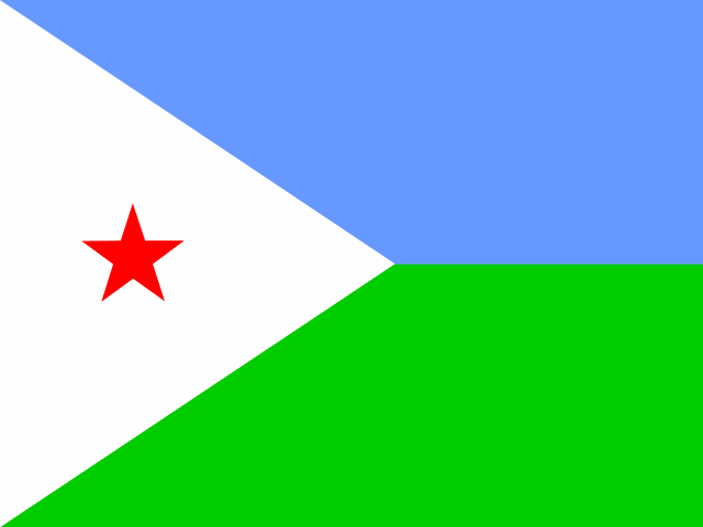 Djibouti
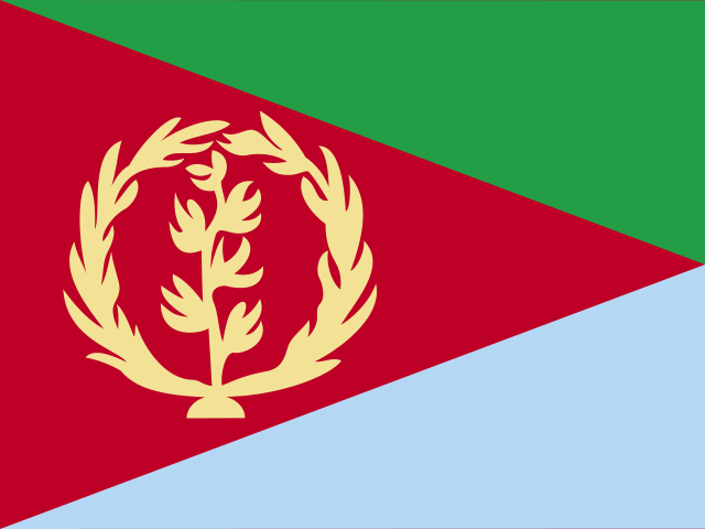 Érythrée
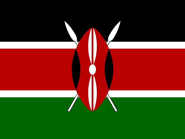 Kenya
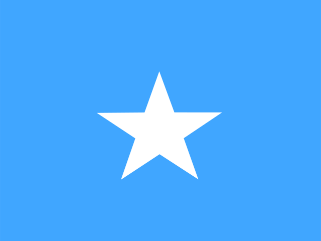 Somalie
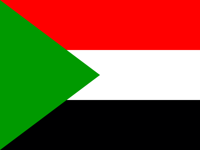 Soudan
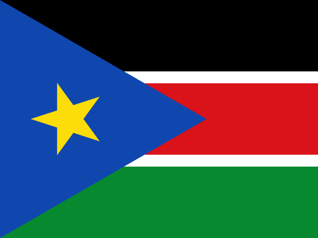 Soudan du Sud
Sources et licences
Gapminder Foundation
Free data from Gapminder.org (CC BY 4.0)
Natural Earth (NACIS)
Made with Natural Earth. Free vector and raster map data @ naturalearthdata.com.
World Development IndicatorsCC-BY-4.0
World Bank
World Bank, World Development Indicators (CC BY 4.0)
Méthode, qualité des données et historique des imports : page des sources.